Zoe Lang · 7 October 2026
Mivara Riverbed Finds Reshape Views on Regional Trade Routes
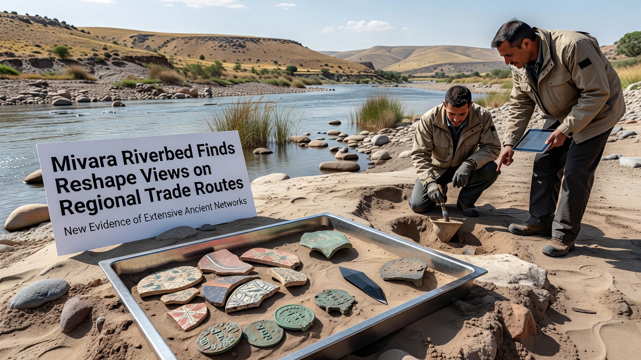
Archaeologists working along the Mivara riverbed uncovered a series of layered deposits in late 2025 that contained trade goods spanning multiple centuries, and these materials have prompted researchers to redraw longstanding assumptions about how goods moved through the region. The site sits near the old flood plain where seasonal water levels dropped unusually low during the summer months, exposing strata that had remained buried for generations. Teams from several institutions documented over 200 individual artifacts including ceramic fragments, bronze fittings, and glass beads whose chemical signatures point to origins hundreds of kilometers away.
Discovery Timeline and Methods
Work began after local authorities noticed erosion along the northern bank following heavy spring rains, and excavation proceeded in controlled trenches that followed the natural contours of the former channel. Researchers employed ground-penetrating radar before any digging started, which helped identify concentrations of denser materials without disturbing the surrounding sediment. By August the first intact amphorae appeared, still sealed with resin stoppers that preserved organic residues inside. Laboratory analysis later confirmed traces of olive oil and wine consistent with production techniques used in southern coastal workshops during the early medieval period.
Artifact Analysis and Geographic Links
Chemical testing of the glass beads matched compositions found at sites along the Baltic coast, while certain bronze buckles carried decorative motifs typical of workshops in the Carpathian foothills. These matches suggest the river once served as a corridor connecting inland settlements with maritime networks that extended farther than previously mapped. One particular cache of coins minted in the eastern Mediterranean arrived in teh same layer as locally produced iron tools, indicating simultaneous exchange rather than sequential deposition over time. Data from the European Commission cultural heritage records shows similar mixed assemblages at comparable riverine sites across central Europe, supporting the idea of integrated rather than isolated exchange systems.
Revised Understanding of Regional Networks
Earlier models portrayed the Mivara valley as a peripheral zone with limited long-distance contact, yet the new evidence places it along a secondary branch of routes that fed into larger arteries running toward the Black Sea. Historians have begun cross-referencing these finds with written itineraries preserved in monastic archives, and several previously overlooked references to river toll stations now gain credibility. The presence of Baltic glass alongside Mediterranean ceramics points to seasonal movements of traders who navigated both overland paths and waterways depending on weather and political conditions. Australian researchers contributing through an international database noted parallel patterns in river systems on their own continent, where comparable artifact spreads have prompted similar reevaluations of pre-colonial exchange.
Developments Reported in October 2026
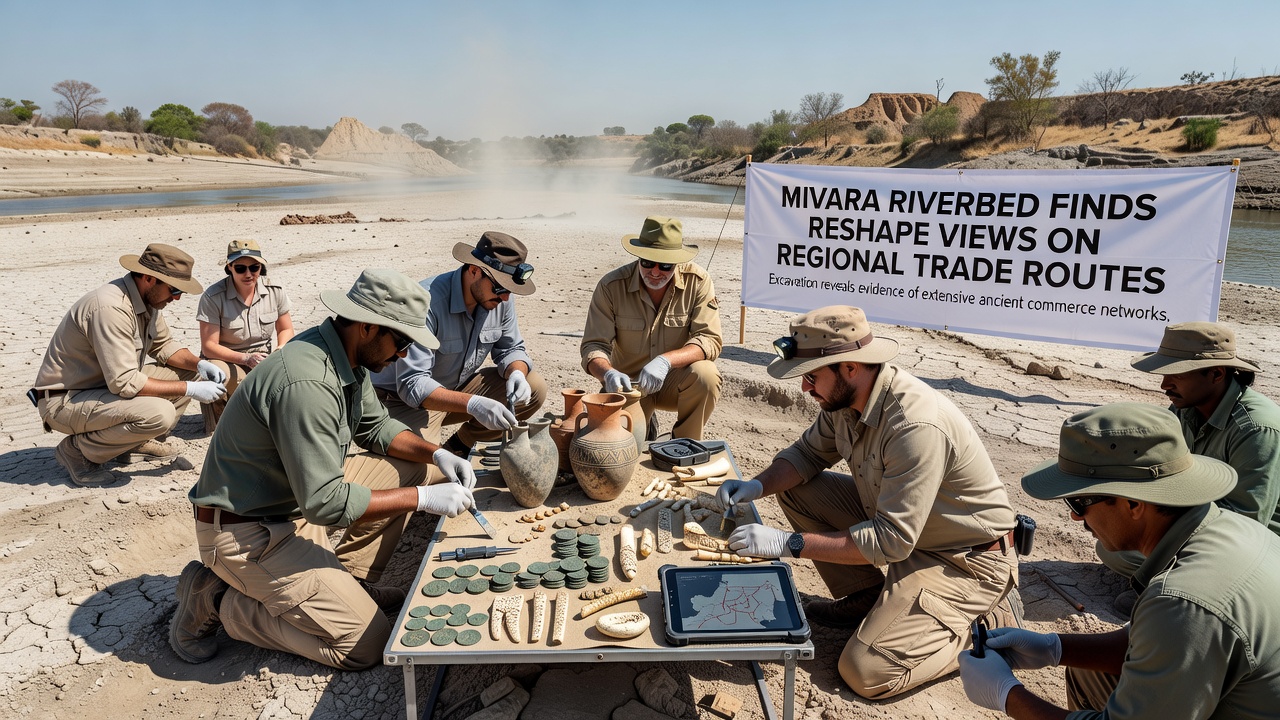
During a symposium held in Mivara in October 2026, project leads presented updated distribution maps that incorporate the riverbed data alongside newly digitized customs rolls from nearby towns. These maps show an additional feeder route branching westward that had escaped earlier notice because it followed seasonal streams rather than permanent roads. Conference attendees examined 3D scans of the amphorae and discussed conservation strategies for fragile organic remains still embedded in the clay matrix. Funding announcements from regional heritage bodies indicated continued support for two more field seasons, allowing teams to expand trenches downstream where further concentrations are expected.
Conservation and Future Research
Local museums have taken custody of the most fragile pieces while larger items remain on site under protective coverings until permanent storage facilities are prepared. Specialists continue to sample surrounding soils for pollen and charcoal that could reveal what vegetation and fuel sources accompanied the trading activity. Plans call for collaboration with institutions in Canada and the United States to run additional isotopic studies on the metal artifacts, which may clarify whether raw materials originated from single mines or multiple scattered sources. The combined datasets should refine chronologies that currently rely on stylistic comparisons alone.
Conclusion
The riverbed material has already altered reference maps used in university courses and museum displays across several countries. Ongoing laboratory work and planned fieldwork will likely add further detail to the emerging picture of connected rather than compartmentalized regional economies. Observers note that each new sample strengthens the case for treating the Mivara corridor as a through-route rather than an endpoint in historical reconstructions.